
Ahhh the Atlantic Again!
At last, after a few weeks in the Chesapeake and beyond, we passed through Beaufort Inlet and reached the Atlantic.
The first thing I noticed was the change in the water color. The Atlantic is much more blue and clear than the waterways leading to it.
The second thing I noticed was the different wave action. Rollers and swells are back! I felt a little queasy but nothing too bad.
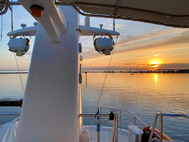
I am writing this from Lookout Bight, North Carolina. It is a favorite anchorage of transients -- people who do what I’m doing — keep moving their boats.

Lookout Bight as seen on our Aqua Map, with Army Corps of Engineers bottom survey overlay (the colored stuff). Red, bad. Blue, good. We’re anchored in the deepest blue section.
Lookout Bight is protected from the worst the Atlantic has to offer, but we are still experiencing pretty high winds and quite a bit of movement tonight.
Letting go our anchor was a little stressful in the wind, but we got it right first try (whew) and learned some important lessons. So much so that I’ve decided over the next couple of days to write about our anchoring experiences and anchoring in general.
Anchoring??? Dropping a big hunk of metal to the bottom? Sounds boring. But it won’t be. My dad challenged me to make it interesting.
Meanwhile, “Come [Float] With Me.” Here’s a fun time lapse we took of most of our 4-1/2 hour trip from River Dunes Marina to the Atlantic today. It’s best seen on something bigger than an iPhone. If anything catches your eye, you can stop the video to check it out.

P.S. I’m working on a few other video ideas for my blog. I know you’ll find them pretty cool too!

Salter, I like the time lapse addition. These sorts of things make your blog even more interesting. Hope you guys got some sleep last night despite the lightning and high winds. Look forward to more anchoring stories. Love, Mom
ReplyDeleteSomehow I missed this entry but glad I saw it! I had never heard of AquaMap. Looks like a great program. We used my Navionics map to go from Hessel to Port Huron and it worked great. This seems to have more features and partners. Maybe someday you can walk me through the features. I have an iPad mounted on my helm for just these types of programs in addition to the Garmin GPS which is the main navigational tool. Keep up the great work.
ReplyDelete